Mapping the Andrew W. Mellon Collection (BETA)
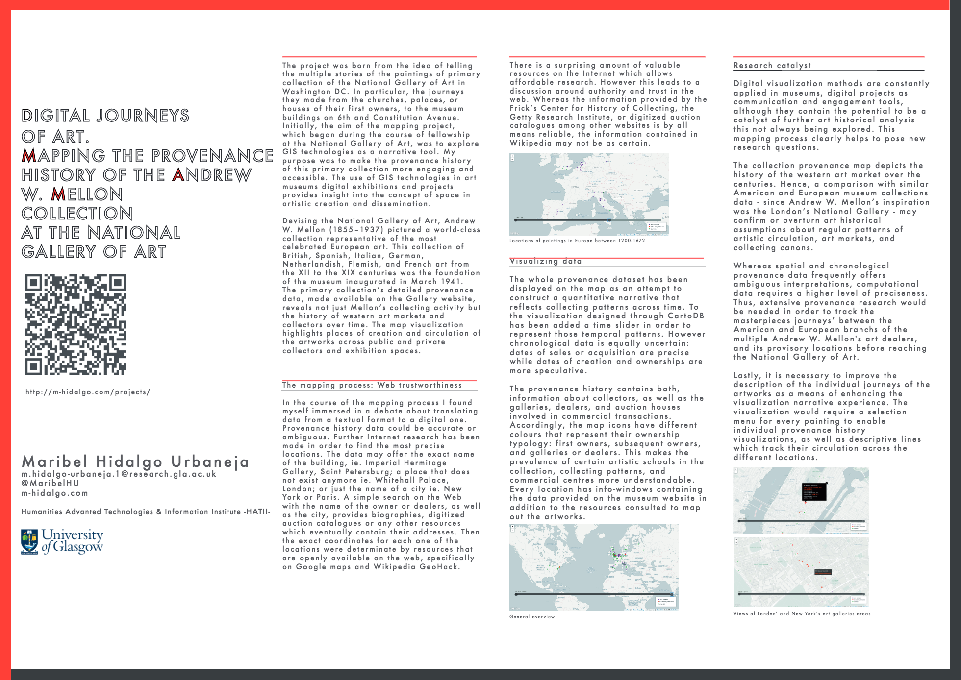
The poster “Mapping the provenance history of the Andrew W. Mellon Collection at the National Gallery of Art in Washington DC” was presented at the Blue Skies Above, Solid Ground Below. 1st Early Career Digital Humanities Conference at the King’s College London on 18th of June 2015.
The project based on the Gallery’s website data is a work in progress. The info windows links and data shall be updated if new evidence is found. For example, if you don’t agree with one of the locations and want to suggest a different one, you can email me the new location with the references or online resources to make the change.
Poster
Documentation
I inserted the provenance data for all artworks in a single layer of a Carto map. The Carto database is structured with the following fields:
Dates, Geographical Coordinates, Artwork’s Title and Author (linked to the NGA online collection catalogue), and the provenance texts available on the website. Within the provenance texts, geographical locations and owner’s names are linked to external resources.
The resulting Carto map does not include the interactive time-slider which allows to display all artworks’ provenance locations between two thumb locations. In this case, I used the code shared on the Github Gist code viewer Bl.ocks that integrates the data from Carto with a jQuery script: http://bl.ocks.org/javisantana/f9b073869fdd3b696f93
After having a functioning map, I made some styling changes:
- I chose a different Carto Basemap and replace the one used in the Bl.ocks code library by following the steps described in this link.
- I modified the jQuery UI Timeslider CSS external stylesheet.
<link rel="stylesheet" href="http://code.jquery.com/ui/1.10.3/themes/smoothness/jquery-ui.css" />
- I also slightly changed Carto infowindows fonts and colours on the CartoDB CSS external stylesheet.
<link rel="stylesheet" href="http://libs.cartocdn.com/cartodb.js/v3/themes/css/cartodb.css" />